 External land users, such as other government departments, property developers, mining companies, lawyers, and consultants are able to directly access the new system as registered users and conduct their own queries to satisfy their duty of care requirements. This has provided land users with significant efficiencies and slashed the amount of effort and time involved in the search and reporting process.
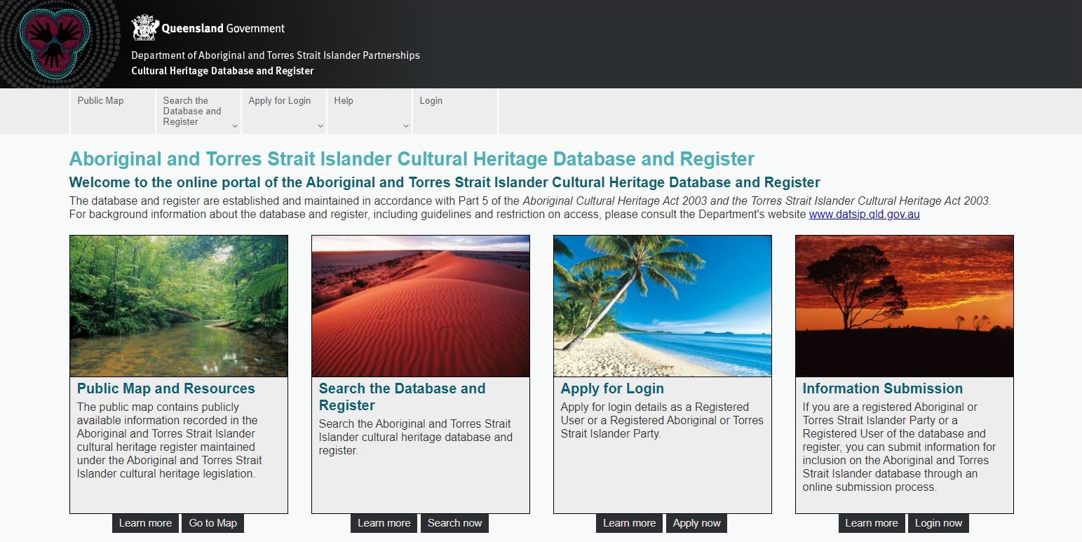
The system provides Aboriginal and Torres Strait Islander parties with direct access to their cultural heritage information in a spatially-enabled environment. This is resulting in a much more engaged process that better ensures the protection and management of Aboriginal and Torres Strait Islander cultural heritage.
Traditional owners are now managing the data themselves to ensure their cultural heritage interests are clearly identified for external stakeholders that want to utilise the land.
Cultural heritage management is a very complex and convoluted process as there are many cultural assets owned and managed by many ATSI stakeholders, often with overlapping claims and responsibilities. Due to cultural sensitivities, it is vital that the cultural heritage of particular ATSI stakeholders is not accessible to other ATSI stakeholders. The new system achieves this using a roles based security system to confine stakeholders to their area and assets of responsibility, and the underlying spatial technology allows this to be presented on an easy to read map.